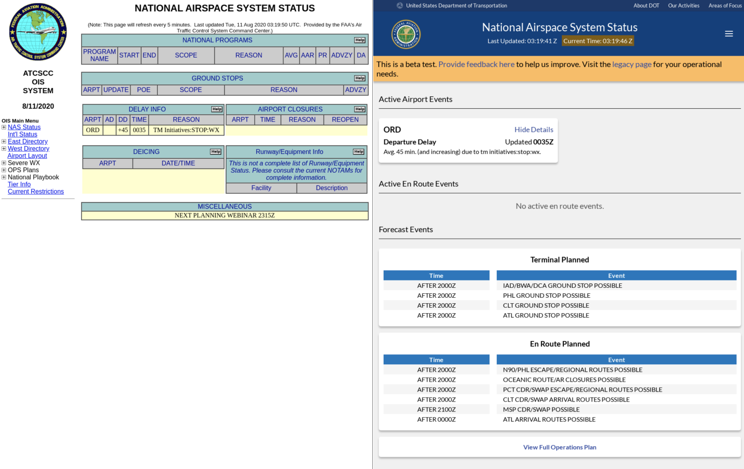
The FAA is a conservative organization: this is good for preventing plane collisions but tough for building software. As a consultant, I taught my pairs how to adopt a lean mindset and practice cheap experimentation. These are examples of my lean UX approach in the face of the FAA tendency to recreate existing software and build to regulations.
One
The Problem: When an event takes place in the legacy app, we don't know if it shows in the new app. Especially if it's the middle of the night.
Client Solution: Build a utility that scrapes both app frontends and matches on event names. Flag the PM via email if it doesn't match.
Leaned Out: I propsed we screenshot both apps and bucket it every 15 minutes. Check in the morning to see if any events are visually missing from the screengrabs. Investigate from there.
Outcome: The utility took two days to build! It's super easy to scroll through a dozen screenshots and see if an event is missing. We've caught the 3 errors in alpha through this.

Two
The Problem: The existing map capabilities didn't correspond to user needs.
Client Solution: Research commercial map licenses and likely build the Google Maps license cost into the product.
Leaned Out: Just figure out what other FAA products use for the map, assume we can use them while we test, and ask for forgiveness if it turns out we can't.
Outcome: I found two other public-facing FAA apps used embedded ArcGIS maps. After some initial testing and talks, it turned we could use the toolkit for free. The ArcGIS developers even collaborated with us to overlay FAA control centers and airports (now viewable live)!

Three
The Problem: Users in tests didn't always understand what FAA terms meant. (For instance, an airport's Ground Delay halts INCOMING traffic).
Client Solution: Create help icons next to terms with a pop-up definition and a link to a full-terms glossary.
Leaned Out: Explain terms next to their context and only do it as we find users don't understand them.
Outcome: A kind, user-centered solution. During testing, the definitions were hard to find and the dry definitions rarely read. We also observed two uncomfortable moments when pilots had to admit their understanding of a term didn't match the definition on screen. When we tried definitions baked-in to the events, users were very willing to read a clean sentence that both contained important info and a gentle reminder of how the event works.

